Earth Visualization
This module provides a 3D visualization of Earth.
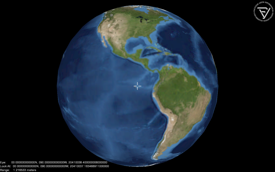

For example:
import _ossimPlanet
import _logoHUD

globe = _ossimPlanet.ossimPlanet()
globe.addGeoid("share/ossimPlanet/geoid/egm96.grd")
globe.addTerrain(1.0)
globe.addImage("share/ossimPlanet/earthlowres/earth.jpg")
globe.addLatLonHud()

logo = _logoHUD.logoHUD(globe)
logo.setFilename("share/logo-fimu.png")

while not globe.renderDone():
    globe.renderFrame()
Class ossimPlanet
- class ossimPlanet
The ossimPlanet provides planet visualization based on the ossimPlanet library.
Note: To use this class you need to install the ossimPlanet library and relevant data files from http://download.osgeo.org/ossim.
ossimPlanet instances have the following methods:
- ossimPlanet.addGeoid(filename)
Elevation data is typically relative to mean sea level. The geoid grids are used to shift the Mean Sea Level to ellipsoidal heights. The addGeoid() method inserts new geoid data to ossimPlanet.
This method is optional. If not called, the ellipsoidal height is used.
- ossimPlanet.addElevation(filename)
The addElevation() method inserts new elevation data to ossimPlanet.
This method is optional. If not called, the geoidal or ellipsoidal height is used.
- ossimPlanet.addTerrain(exaggeration=1.0)
The addTerrain() method displays Earth terrain based on previously inserted geoid and elevation data.
The parameter exaggeration may be used to emphasize the terrain data by multiplying the elevation data by the given rate (> 1.0).
- ossimPlanet.addImage(filename)
The addImage() method inserts new Earth image to ossimPlanet.
You may download a low resolution image earthlowres.tgz
- ossimPlanet.addKml(filename)
- The addKml() method inserts new KML (Keyhole Markup Language) object to the visualization.
- ossimPlanet.addLatLonHud()
- The addLatLonHud() method enables a Head-Up Display (HUD), that displays latitude and longitude of the actual viewpoint.
- ossimPlanet.setEyePosition((lat, lon, altitude)[, (heading, pitch, roll)])
The setEyePosition() method changes position of the view camera. The first parameter is a 3-tuple that describes camera position. The altitude is specified in meters above ellipsoid.
The optional second parameter is a 3-tuple that describes the camera attitude as Tait-Bryan angles in degrees. If not specified, the camera looks straight down.
- ossimPlanet.renderDone()
- Return True if the user requested termination of the visualization loop, or False if visualization should continue.
- ossimPlanet.renderFrame()
- The renderFrame() method is the main rendering step. This will render 1 frame.